
- Method selection and survey planning support
- Line, station and access coordination
- Instrument and positioning metadata capture
- Controlled processing and interpretation handover
SURVEY AND TARGETING
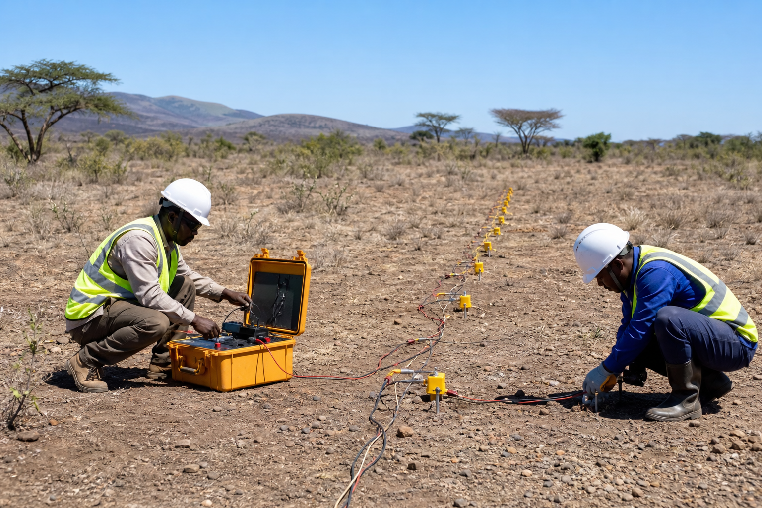
Geophysical Exploration
Survey coordination and controlled data handover for ground and airborne geophysical programs.
THE EXPLORATION CHAPTER
Survey coordination and controlled data handover for ground and airborne geophysical programs.
Survey scope, line planning, positioning, calibration and metadata are documented before acquisition. Specialist processing and interpretation outputs are integrated with their source, version and approval status preserved.
- Survey execution plan
- Acquisition and calibration record
- Versioned interpretation package
PROFESSIONAL ACCOUNTABILITY
Evidence supports the decision; it does not replace qualified judgement.
Source records, approvals and issued outputs remain traceable. Legal, geological, resource and safety decisions are reviewed by the appropriately qualified domain professionals for the project.